Saturday 31 December 2016

Danseys Pass

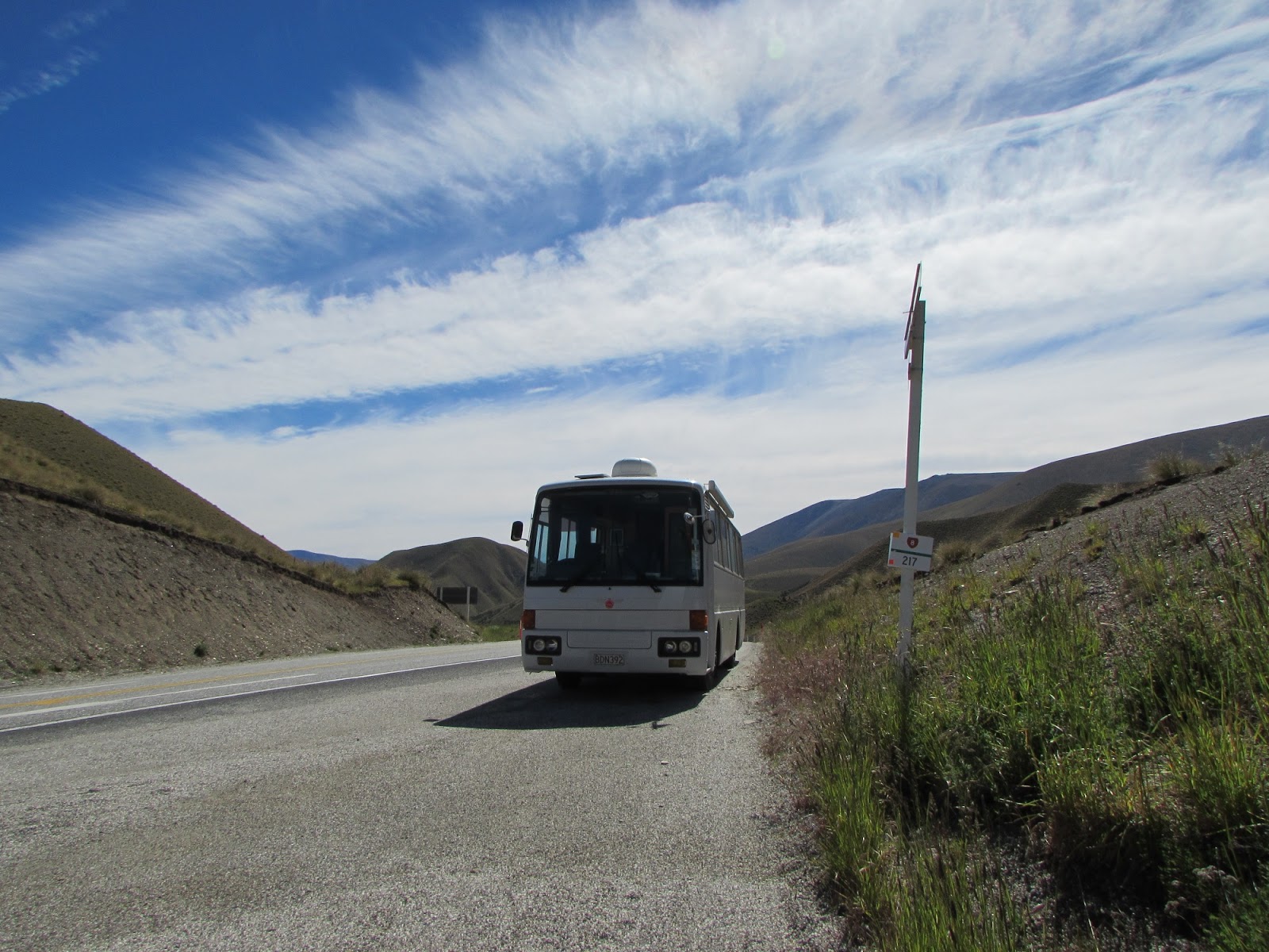
After a cloudy but hot day at St Bathans we moved to Ranfurly.  We took the car along the Danseys Pass Road from Naseby to near Duntroon (nw of Oamaru).  The road is narrow, windy and unsealed but it is a 'road' albeit that motorhomes and large vehicles are banned.

Lots of windy ups and downs

This is the pass, from here we could see across to the coast.

Malcolm went to get a better photo.

Then at the other end we turned around and went back.

We stopped for lunch at the historic Danseys Pass pub - there are some picturesque ruins in the gardens.

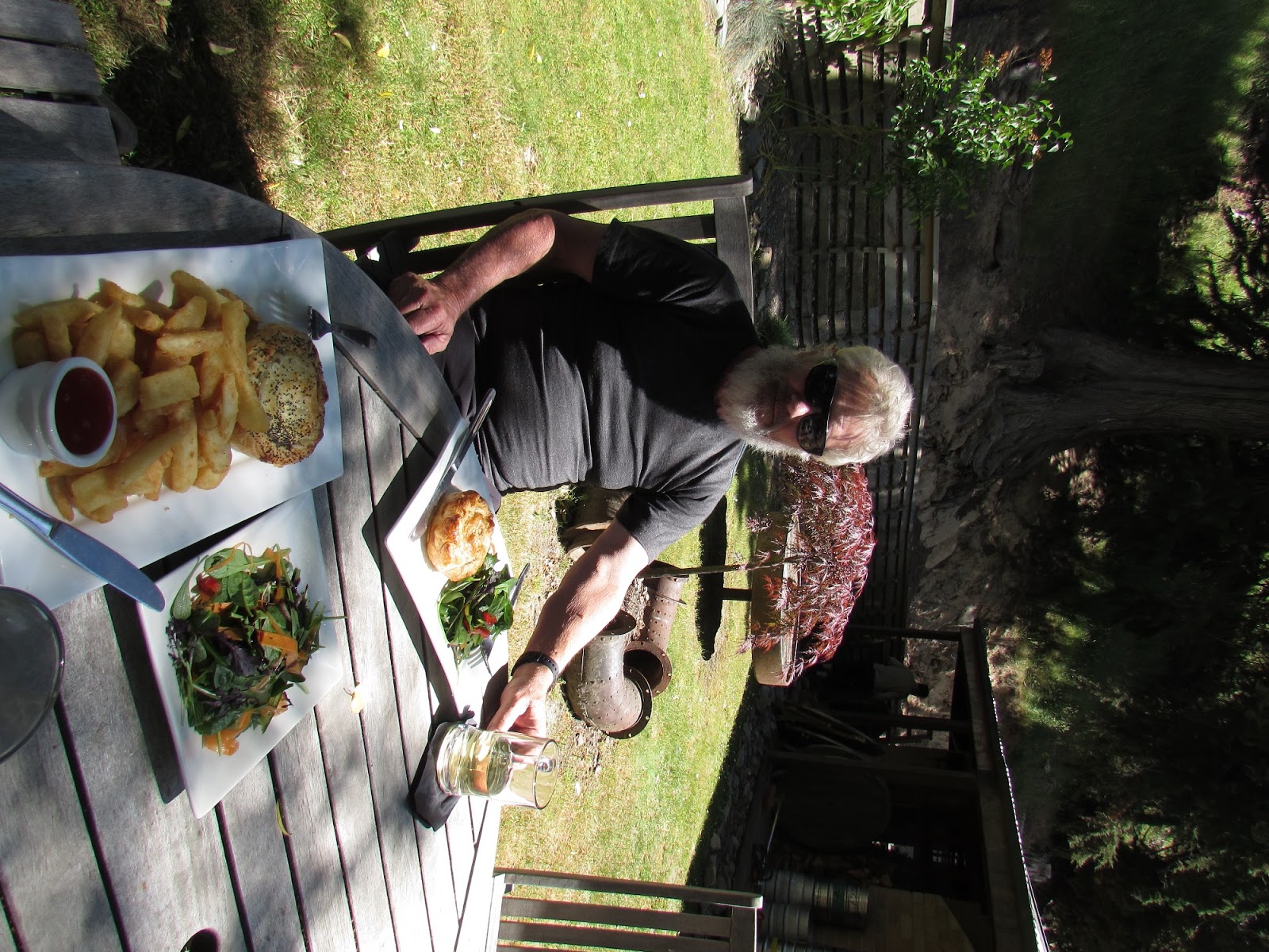
You can't beat a good old pub lunch with cider :-)  Malcolm had duck and cherry pie, mine was chicken.

Thursday 29 December 2016

Clyde to Alexandra

Back on our bikes today.  We cycled from Clyde to Alexandra on the riverside track (not the rail trail one that we have done before).

The track varied from wide to narrow but was mostly flat(ish).

In Alexandra we split up.  I went for coffee and then found a rotary club book sale.  Novels $1.50 - shame I couldn't fit many into my cycle basket!  Malcolm cycled to Doctors Point on the Roxburgh Gorge trail.  This was 20km return.  We met up in the café we like in Alex, the old court house for more coffee.

Malcolm took these photos on his trail.  From a cave.

I'm glad I didn't do this one, don't like the drops as I wobble sometimes :-(  Malcolm loved it  :-)

Tuesday 27 December 2016

Clyde to Bannockburn by 4WD

Very scary drive in the car this afternoon. Took the 4WD track from Clyde (where we have the bus now) to Bannockburn. 16kms of white-knuckle driving (for me anyway!! as passenger!) - the road/track was full of very deep ruts (like 6 or 7 wide in one place - no avoiding) bare rock and very steep and windy with only rose bushes between us and the edge - and the rose bushes were scratching the side. When we got to a real road, Malcolm said, 'that was good'. I said, 'in what way?' He said, 'the challenge!' So since we were in Bannockburn again we returned to the cute pub again for more cider   This photo is at the start of the drive looking back down on the Clyde Dam.

A little further up we came to an area of big rock formations.  After this the road got very bad.

A fairly good bit of flat road with no ruts.

A narrower bit.  That's the road going round the far hillside.

Later we went up this ridge line.

This is just before we took the wrong turn! There was no turn on the map. We realised our mistake and managed to turn round and when we got back to this previously deserted spot there was a cyclist and 4 trail bike riders. I said where are we, no-one knew! We had to laugh. The cyclist had come from Bannockburn so pointed us in the right direction. We said don't go down this road so he went the way we had originally come along (suppose that's where he was headed). No-one else on the road for hours!

When we came down from the high mountains we came to this gate.  When I opened it I saw the sign!  Our car is 4WD but even so!!

Monday 26 December 2016

Bannockburn

😊😊😊😊
This is the track into Bannockburn Sluicings - an old gold mining area where they used water to wash the earth away in the search for gold.

The track wound up to the top of the cliffs...

...which is here, looking down to Cromwell in the distance.

We saw gold mining tunnels and caves where the miners lived.

This was a settlement called Stewart Town.  There were some ruined houses and a big orchard with pear and other fruit trees, planted by the settlers.


The ruin here is the old blacksmith's forge, taken from inside a cave.

Since we forgot to take water we had to go and find the pub in Bannockburn and sit in the garden drinking cider

Sunday 25 December 2016

Boxing Day

Today we cycled south from Lowburn, first round Cromwell and Old Cromwell...

and along the Kawarau arm - handy seat :-)

...to Bannockburn Bridge (you can see in the distance)

The last part of the trail was not a cycle trail but a mountain biking track.

When we got back I was hot so decided to have a quick dip in the lake - it was very quick, the water was freezing.

Christmas Day

Christmas Day was warm and sunny.  In the morning we cycled north up the lake and back (about 2 hours)then after lunch sat around reading.

Then decided we should go for a walk up the sugar loaf.  It is over 400 steps from the road to the plateau.  (The cycle track we rode in the morning is beside the road at this part of the ride.)

I am looking across the plateau to the Pisa Range.

This is the 45th parallel sign.  The track down is on the right, it was very sleep and slippery gravel/sand.  We walked past the sign first for the view.

We are parked in the semi-circle in the middle ground.

This is us (zoomed in)2 back from the green bus.

Friday 23 December 2016

Lowburn

We moved today from Cromwell, just 5 minutes drive along Lake Dunstan to a freedom camping spot at Lowburn.

I went for a walk for about an hour and a half along the lakeside.

This is the 45th parallel and possibly a walking track to do another time.

The walking track looped inland around the Lowburn Inlet.  The original settlement was drowned when the river was dammed and the lake formed but they rescued the church and moved it inland.

A quiet and pretty spot.  I was just walking back from here when I got a lift from a local.  Lucky because it was pretty hot and it took longer than I expected.  It has been cooler in the mornings where we were in Cromwell but it is hot here in the open.  Wonder what the water's like in the lake?

Thursday 22 December 2016

Cromwell

Yesterday we drove from lake Tekapo to Cromwell in Central Otago.  This is Mt Cook, seen from Lake Pukaki as we went past.

This was the first time we had been over the Lindis Pass.  This is the summit...

...where we stopped to have a coffee.

After parking the bus at Cromwell we drove to Alexandra to do our Xmas shopping.  Malcolm gets the Xmas spirit by sitting under a holly bush.

Lake Dunstan in the evening.

Today I went for a wander around Old Cromwell which has some original and some relocated old buildings (moved when the town was flooded for the dam).  Some are like mini-museums, others have art and craft workshops, cafes or shops in them.

There was no one much around


Lovely interesting and peaceful place to look around.