Monday, 8 February 2016

Cape Kidnappers walk

walking out, started at far right

gannets near Cape Kidnappers
 

After 2 hours walking along beach we get here, then it's 1/2 hr up hill

...to this

Now we have to walk back

...all the way back there

Heather and Kathryn


Oooohh!!! I have blisters!!!!
We walked to Cape Kidnappers - it is 2 and a half hours each way, so 6 hours mainly on sand, hard going. Last 1/2 hr is up a hill to a plateau where the gannets were doing their thing. Walking back was hard, we were hanging out for ice cream.

Saturday, 6 February 2016

Another ride on the cycle trails of Napier

Met this guy and he seemed lonely...

...so stopped for a chat

coffee and cake

At Bay View
 

Ahuriri

On the way to the wetlands

lunch spot
Another good day cycling in Napier with Kathryn. This time we went to Ahuriri, Westshore and back via wetlands. Coffee on way out at Ahuriri and lunch on way back at beach/boardwalk.

Thursday, 4 February 2016

Napier cycle trails

Got the best fish n chips here

coffee under the vines

cycle trail wetland scenery

...with us on it

How we spent the afternoon

Clifton - end of ride

Liking these trails better than those mountain biking ones :-)
Loving Napier. Spent some time on the trails - yesterday late afternoon Malcolm and I cycled into Napier for fish and chips (along Marine Parade). Today we cycled out to Clifton with Kathryn, coffee in the morning and wine tasting and buying and drinking in the afternoon at Clearview Winery.  Planning some more trails next week.

Wednesday, 3 February 2016

Some tiki-touring

lunch spot


way to Tangoio Falls

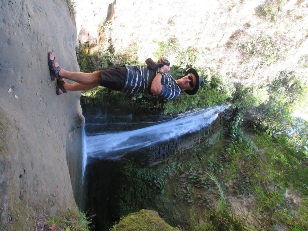
at the falls

beach

Malcolm went for a wander along the cliff side while I cooled my feet off

view from the cliff path

We did have a day off from walks - Malcolm's birthday.  We took to the car for some tiki touring and went to Holts Forest (arberetum), Aropaoanui Beach (deserted place at end of gravel road), Tangoio Falls (40 min return walk - we could handle that!), finally - Waipatiki Beach.  We were craving coffee or at the least ice-cream but there were no cafes/stores so we headed back to the bus.  We have had amazing weather out here.  One of the best places we have stayed in terms of views, good camping spot, and being close to so many bush walks and beaches.

Bell Rock

Morning view of Lake Tutira from bus

After an hour uphill through the bush we emerged into fern, then grassy hills

good views from here

...but better ones from here!

King of the castle

Not feeling too bad considering the 5 hours of walking yesterday - this is another 3 hours

me at bell rock

Bell Rock

tried to find the loop part of the track by this trig but gave up and went back the way we came

Day off after all that - not us :-)  We did a walk to Bell Rock which would have to be one of the most interesting walks I've done in NZ.  Again inland - into the mountains to Boundary Stream, an area of bush where pests have been/are heavily trapped and it is a bird sanctuary.  We saw kaka, tui, kereru and heard bellbirds.  About 1 hour going mainly up through deep bush (nice and shady) then out onto some high grassed hills.  About 1/2 hour of uphill brought us to a steep drop into a valley and along the edge were weathered rock outcrops - one of which was Bell Rock.  We could again see for miles, mountains inland and along the coast in the other direction.  Had lunch there and then retraced our steps.  That should have been a 3 hr loop but there were no signs indicating where the loop track junction was, and we were too tired to risk getting lost and retracing our steps, so we played it safe.

Table Mountain

me on the track above Lake Tutira

Malcolm further up

You go down a bit, then up the next hill and along...

...along and up a bit more

great views as we get higher up

almost at the top

me almost at the top..

...nearly at the top!!..

Yay!!

If only we knew how hard the going down was going to be


The way down and into that pine forest...

Instead of heading back to the bus for rum and cokes after our exertions going to Shine Falls - we decided to do a walk that was supposed to be 4 and 1/2 hours, starting from where our bus was parked at Lake Tutira.  This was probably a mistake as it was already past 3.00pm -  but we wanted to make the most of the weather so we grabbed more water and bananas and set off.  The track went up and over several steep hills and after 2 hours we got to the high point from where we could see the coast stretching to Napier and Cape Kidnappers and the other way down to Mahia.  Then the track became ambiguous - it went very steeply down then there was only an unmarked track through a (pine) forest.  We went that way and the track was a quagmire - very wet and cattle had been through it.  Also still steep so very slippery.  After about 3/4 hr we emerged on a marked track which led back to the bus.  We did that walk in 3 hours so were going quite quick.  I basically had a shower, cooked dinner and then went to bed - probably 5 hours of up and down hills that day!

Shine Falls

Some of a flock of sheep that were blocking the road on the way to Shine Falls - typical rural NZ

Here's one Malcolm was chatting to later

In the bush

Lots of kereru

Malcolm at Shine Falls

lunch

We went to Shine Falls which is the highest waterfall in the Hawkes Bay.  It is inland from where we are camped at Lake Tutira in the Maungaharuru Range.  After a drive along interesting roads we got to the start of the walk which has high cliffy outcrops beside the track.  Then you go through some nice native bush to the falls.  It was a 1 and 1/2-2 hour (return) walk.